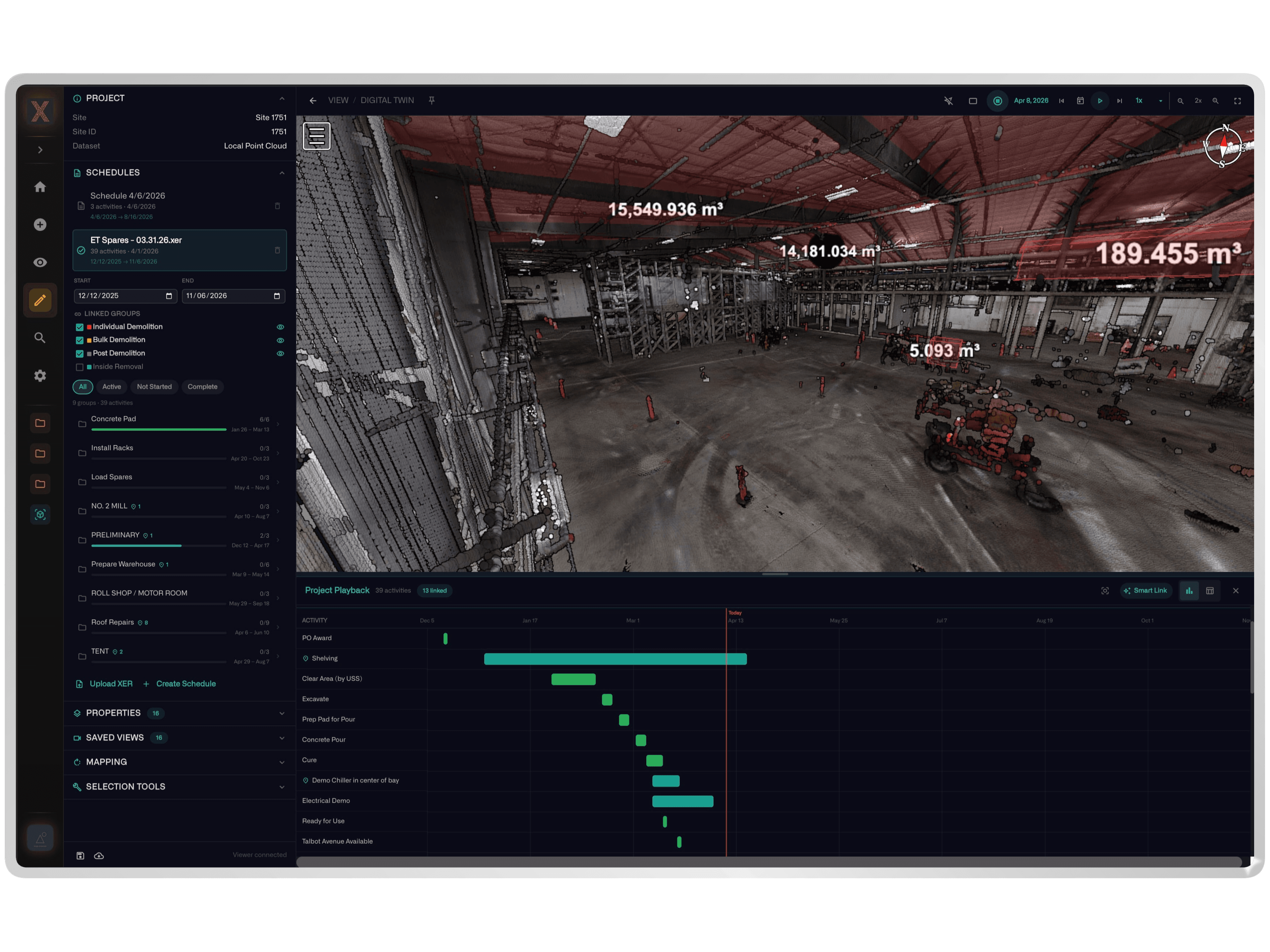
Accurate as-built documentation is the foundation of every facility modification, equipment installation, and construction project. MAC Safety deploys terrestrial and mobile LiDAR scanners to capture dense 3D point clouds of existing conditions — producing registered, colorized point clouds and BIM-ready models that eliminate the measurement errors, assumptions, and field conflicts that plague projects built from outdated or incomplete drawings.
Point cloud scanning deliverables include registered point clouds, 3D mesh models, 2D plan/section/elevation extractions, and fully modeled BIM assets. For facility owners, this means accurate spatial records of mechanical systems, structural elements, and equipment layouts that support capital project planning, maintenance access analysis, and regulatory compliance documentation. For construction teams, clash detection against point cloud data catches conflicts before steel is cut and concrete is poured.
MAC Safety's point cloud data integrates with the NIXN platform and feeds into digital twin workflows — creating persistent spatial models that update over time as facilities evolve. When combined with drone photogrammetry and IoT sensor data, point cloud scanning becomes the geometric backbone of a living facility model that supports operations, maintenance, and safety management for the life of the asset.