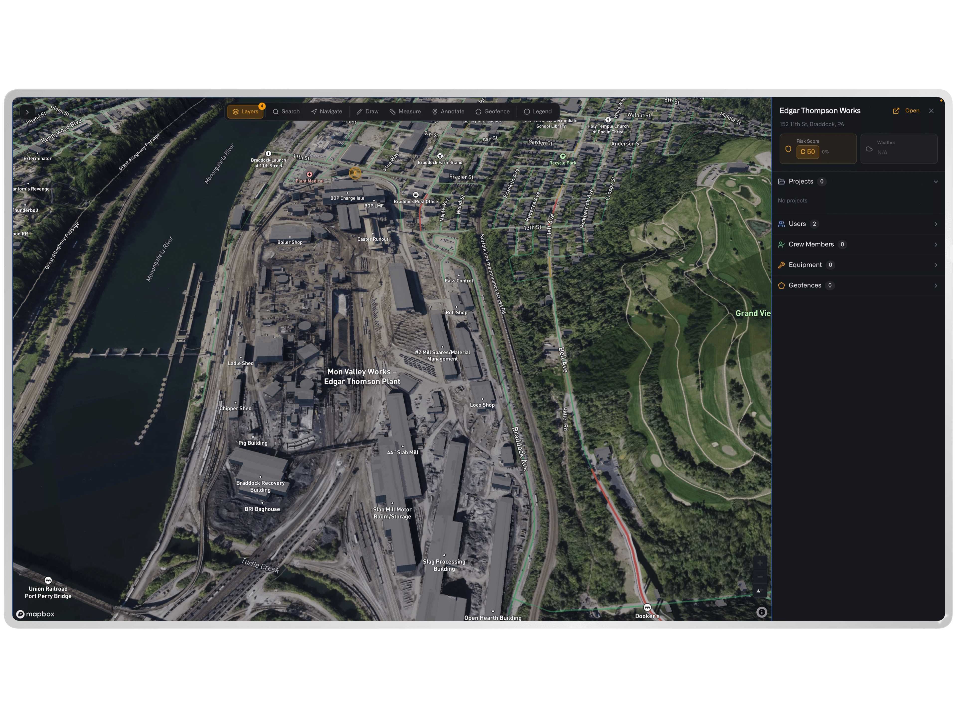
Large-scale industrial projects span areas too vast for ground-level or fixed-camera monitoring to cover effectively. NIXN Satellite Imagery integrates high-resolution orbital and aerial imagery into the operational platform, providing a bird's-eye view of site conditions, construction progress, and environmental factors across the entire project footprint.
Project managers use satellite imagery to verify earthwork quantities, track clearing and grading progress, monitor laydown area utilization, and document site conditions over time. The imagery integrates with NIXN's progress tracking and GIS capabilities, enabling overlay analysis that compares planned site layouts with actual conditions.
For pipeline, transmission, and renewable energy projects that span hundreds of miles, satellite imagery provides the only practical way to monitor right-of-way conditions, vegetation management compliance, and environmental buffer zones. NIXN's time-series imagery analysis surfaces changes between captures, alerting project teams to unauthorized activity, erosion, or encroachment along the corridor.